The mountains in North Iceland are high and majestic. They are as diverse as they are many and can be enjoyed all year round. Tuyas, explosive craters, and millions of years of rock formations, certainly make their mark on the environment.
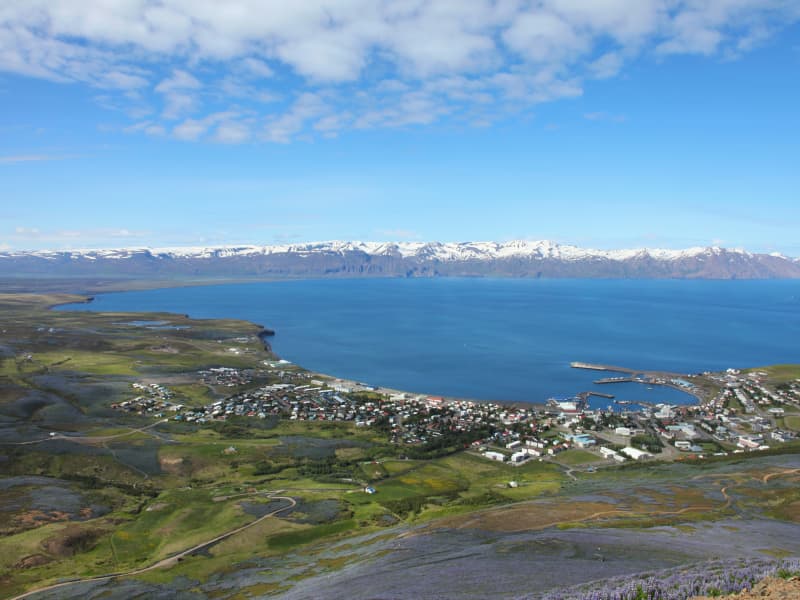
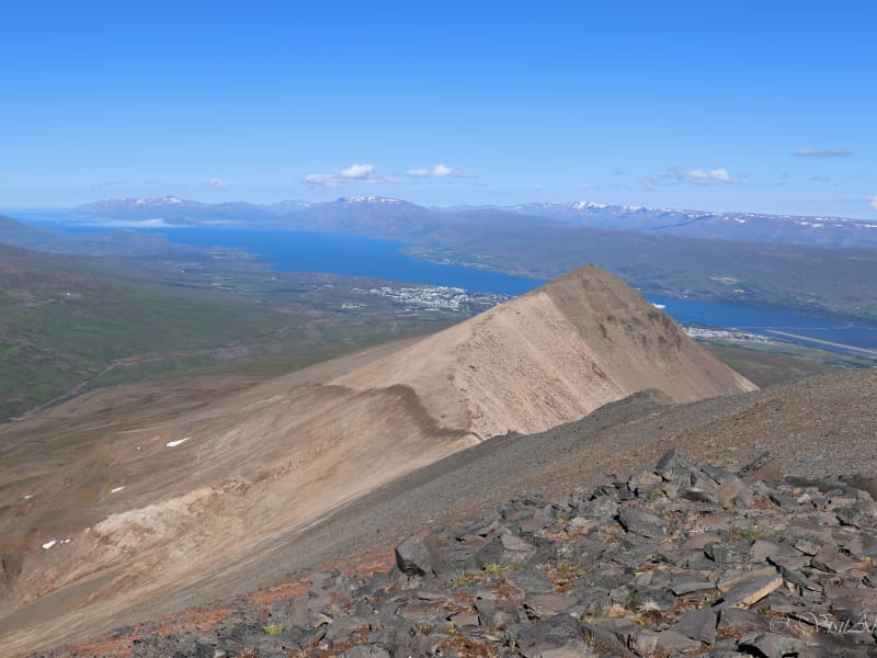
Mt. Húsavíkurfjall
Húsavíkurfjall is a unique landmark located just behind Húsavik. Measuring 417 mt above sea level.Easy hike.
View
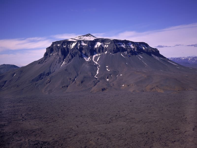
Herðubreið
Mt. Herdubreid on the Oskjuleið Route is a 1682m high table mountain. It is the national mountain of Iceland and often called the “Queen of Icelandic mountains”. There is a hiking trail to the top of the mountain, but due to loose rock it´s difficult and steep.
View
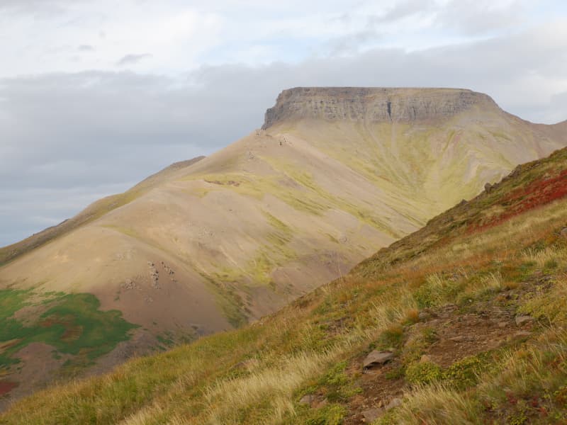
Spakonufell
Spákonufell is an impressive and dignified mountain towering above Skagaströnd and is looked upon as a kind of emblem of the village. It is frequented in all seasons by those who want to indulge in a variety of outdoor activities.
In summer, there is a choice of good walking and hiking trails, and many highly valued places of interest. And when winter lays an icy hold on the slopes, the townspeople change over to cross-country skiing – making their way round and, in some cases, up the mountain. Booklets about walks on and around Spákonufell and Spákonufellshöfði have been published in Icelandic, English and German, and these can be obtained in many places within the town itself, as well as in tourist information bureaux all over the north of Iceland. They also contain excellent photographs, detailed maps and other items of interest and information.
View
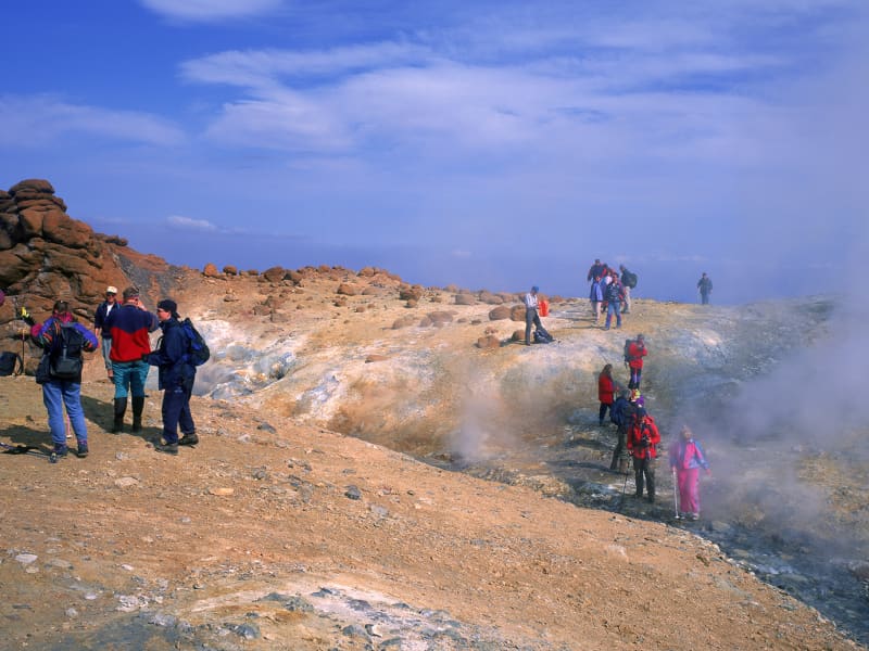
Kverkfjöll
The Kverkfjöll mountain range, Iceland's third highest mountain group, is a cluster of peaks formed by a large central volcano on the northern edge of the ice cap.One of Iceland's most active high-temperature geothermal areas is located in the western Kverkfjöll Mountains. Its existence is due to a fault scarp. An area of hot springs 3 km long and nearly 1km wide can be found at an altitude of 1600-1700 m.
More information about the National Park is at the webpage: www.vatnajokullnationalpark.is
View
Gunnólfsvíkurfjall
Mt. Gunnólfsvíkurfjall in Finnafjörður is the highest mountain in Langanes peninsula, 719 m high and rises from the ocean. On top of the mountain there is a radar station that NATO built in 1987 and today, The Icelandic Coastguard is still operating it. There is allowed to hike up along the road that leads to the top of the mountain and offers a beautiful view.
View
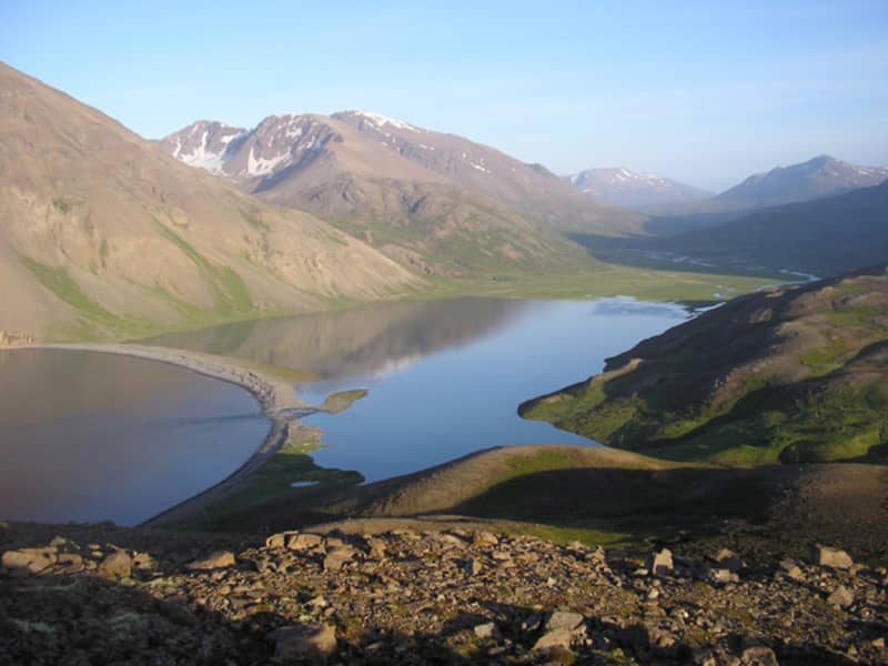
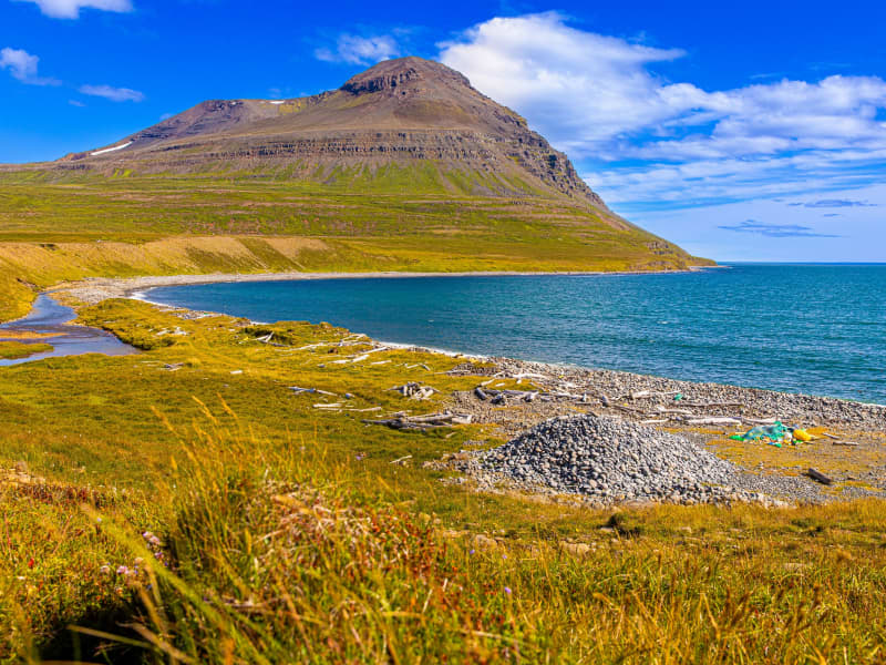
Fjörður
The peninsula between Eyjafjordur and Skjalfandi Bay is a paradise for hikers. Two 4WD tracks lead to the north of the peninsula, one to Hvalvatnsfjordur and the other to Flateyjardalur. No services, but camping allowed in specific areas.
View
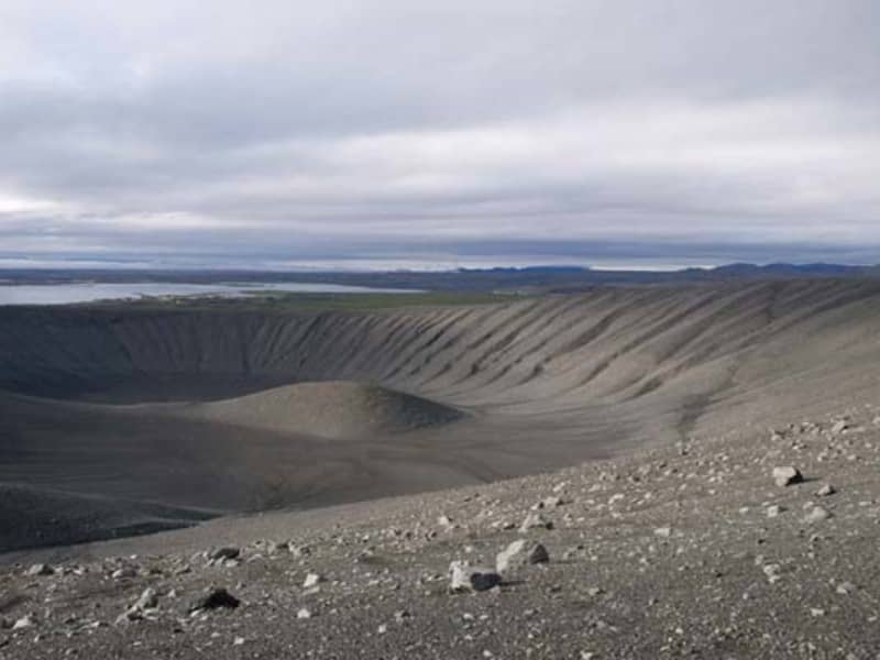
Hverfjall
Hverfjall has a large, circular explosion crater, about 140 metres deep and with a diameter of 1,000 metres. Hverfjall is one of Iceland's most beautiful and symmetrical explosion craters, besides being one of the largest of its kind in the world. It is estimated that the crater was created during a volcanic explosion and its likely around 2800 - 2900 years old.
View