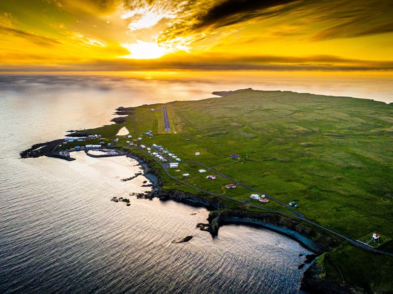
Flatey Island
Flatey is a peaceful island off the coast of Skjálfandi Bay, offering visitors a unique glimpse into Iceland’s past. With its colourful historic houses, quiet walking paths and rich birdlife, the island provides a tranquil escape from modern life and a chance to experience a slower pace of living.
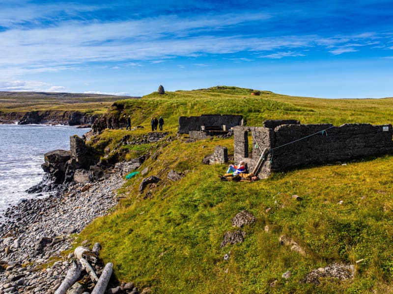
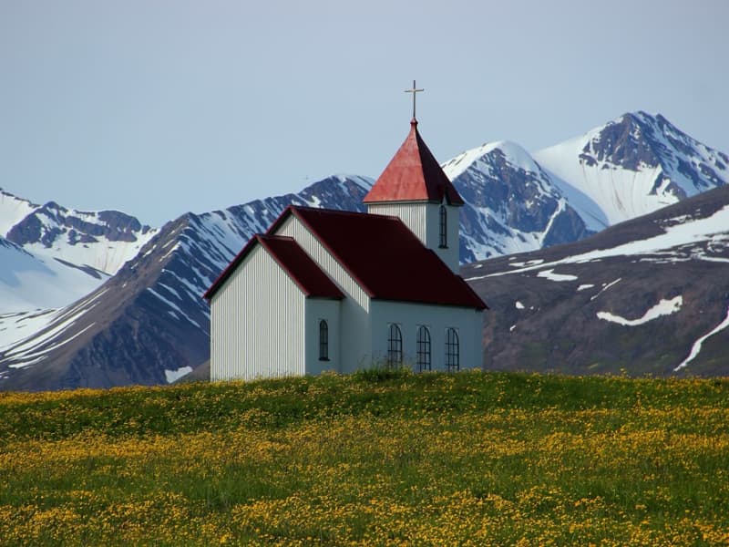
Although no one has lived permanently on Flatey since the late 1960s, many of the original houses have been carefully maintained by descendants of former residents and continue to be used during the summer months. The island’s church, lighthouse, old schoolhouse and harbour serve as reminders of a once-thriving fishing community.
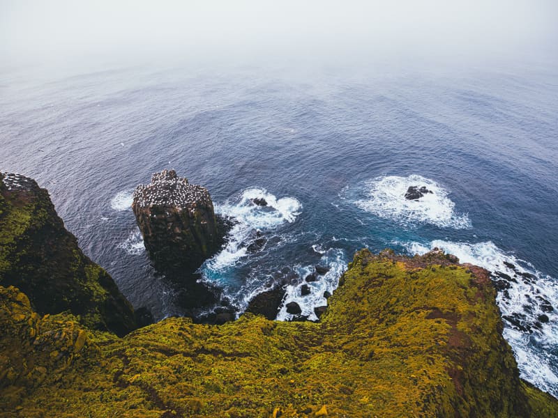
Flatey is also renowned for its abundant birdlife. More than 30 bird species can be observed on the island during summer, including puffins, Arctic terns and eider ducks. The combination of wildlife, history and peaceful surroundings makes Flatey a memorable destination for visitors exploring North Iceland.
View