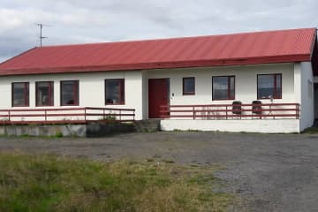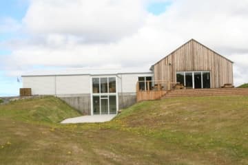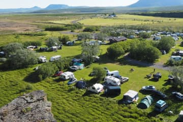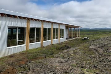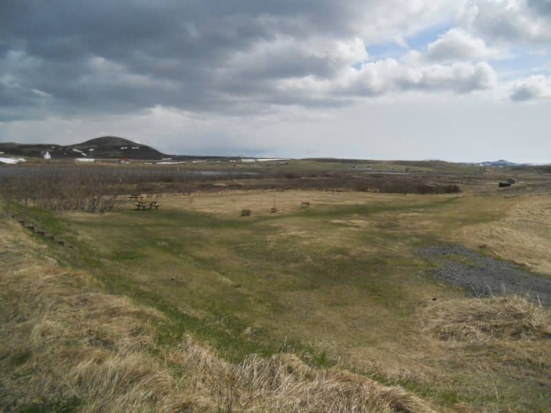
Kópasker Camping Ground
Kópasker
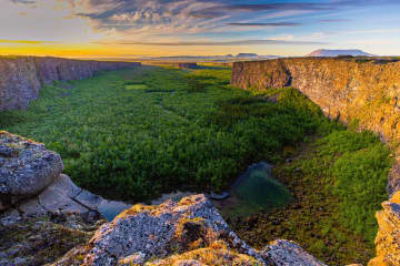
- Edge of the Arctic


Kópasker is a friendly village on the eastern shore of Öxarfjörður bay. A legal trading post was established here in 1880, and a village started slowly forming early in the 20th century. Its name derives from the skerry on which the breakwater was built and means seal pup skerry.
The local economy is mostly services to the surrounding agricultural region and tourism, but Kópasker´s largest employer is Fjallalamb meat processing plant. The village´s fishing industry consists of a few small boats.
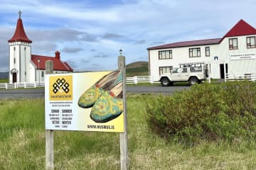
Services in Kópasker include a grocery store with a restaurant, a state liquor store, car repair, a health clinic, a pharmacy, a bank, a gym, self-service gas station, guest houses, and a camping ground.
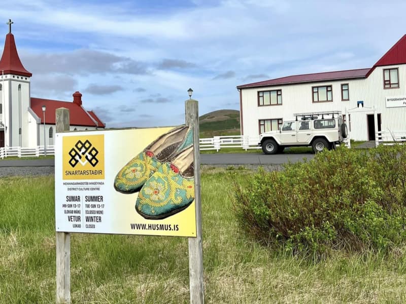
Among things to see and do around Kópasker are visits to the Snartarstaðir heritage museum with its unique collection of handicrafts and the Kópasker Earthquake Center which features information on an earthquake which struck the village in 1976 causing considerable damage. There are also some interesting walking trails around the village and very rich birdlife.
Each year, Kópasker celebrates the summer solstice in June with an extended weekend of various activities and happenings and visitors are welcomed.