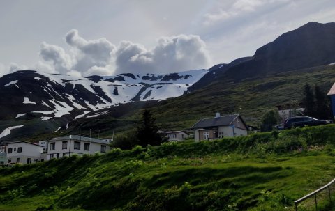
Múlakolla is often called the outpost of the fjord, it is 984 meters high and offers spectacular views of mountains and valleys. The route is easy to navigate, you follow a path on the mountain and before too long the peak is visible. You set off from just north of Brimnesá and walk over grass to begin with. Once you’ve walked up the first steep part you will find small ponds, but from there you walk up more steep and grassy hills. Once up there you will find a small hollow. Here you will see Múlinn on the right and Mt. Kistufell (1078 meters high) on the right. We keep to the right, closer to Kistufell. In front of us now we find the steepest part of the way, Gvendarskál (or the bowl of Gvendur), which is usually full of snow. When hiking Gvendarskál two routes are possible. The first way is to walk straight up the steep hill, but the terrain is quite loose and rocky. The easier route is to go on the right side of the rock slide and walk on the snow. Once the edge of the bowl has been reached you carry on to the northeast towards Múlkakolla, but this part of the route is very easy.
Parking facilities and road no. leading to the walking route.
Start walking from road no. 82 on the Ólafsfjörður side. The starting point is north of Brimnesá river, on the left-hand side. Parking facilities can be found there.
Toilets, garbage disposal and drinking water facilities
All services and facilities available nearby
Notes on the walking route
During the wintertime, there can be very heavy snow and the danger of avalanches. Danger of mudslides in other seasons. Terrain is grass and gravel and rock.
Please do not walk outside of marked paths and show consideration for flora and fauna