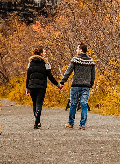
Experience winter magic and fly directly to Akureyri in North Iceland with easyJet
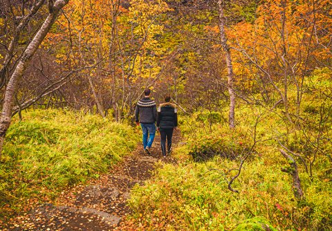
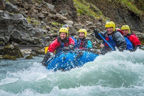
North Iceland is the number one destination for winter activities, there are multiple attractions and tours available. Go skiing, off-piste or on groomed slopes and enjoy guided tours on Super jeeps, snowmobiles, snowshoes or dogsleds. Winter in North Iceland won't disappoint.


When are you Travelling?

Top Destinations

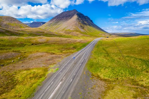
Nature
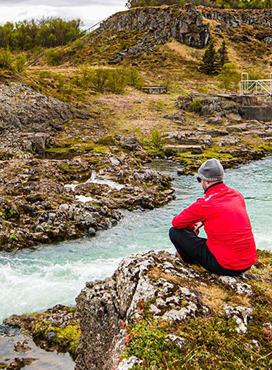
Kolugljúfur
As you drive along Víðidalur, you will come to Kolugil Farm which stands beside the Víðidalsá river. Just below the farm, the waters flow peacefully downwards to plunge into the deep, rugged gorge called Kolugljúfur.
Read more

Nature
Goðafoss
The Goðafoss waterfall is one of the most spectacular waterfalls in Iceland. The water of the river Skjálfandafljót falls from a height of 12 meters over a width of 30 meters.
Read more

Culture
Arctic Henge
Similar to its ancient predecessor, Stonehenge, the Arctic Henge is like a huge sundial, aiming to capture the sunrays, cast shadows in precise locations and capture the light between aligned gateways.
Read more

Nature
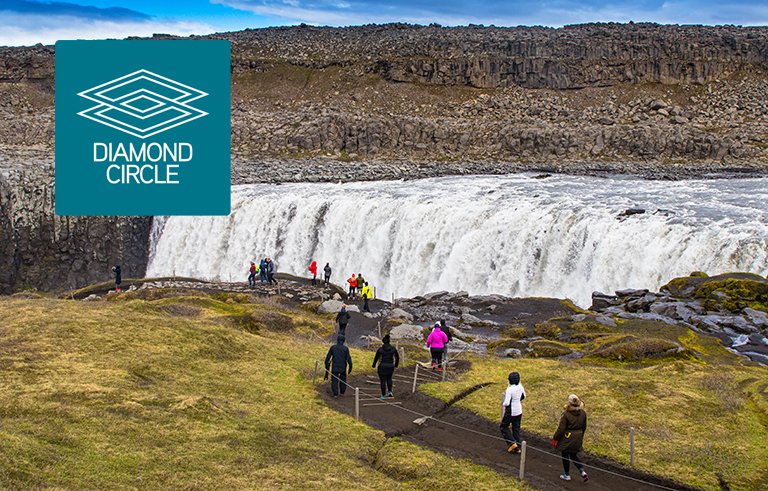
Dettifoss
The Dettifoss waterfall is the most powerful waterfall in Europe, 500 cubic meters of water per second plunge over the edge
Read more

Nature
Hvítserkur
Hvítserkur is a 15 m-high sea stack just off shore on the eastern side of Vatnsnes. Good seal spotting place at the estuary of the Sigridarstadir lake, south from the stack.
Read more

Nature
Aldeyjarfoss
Aldeyjarfoss waterfall is considered the most beautiful one in the river Skjalfandafljot. The waterfall is framed with long, natural basaltic columns.
Read more

Nature
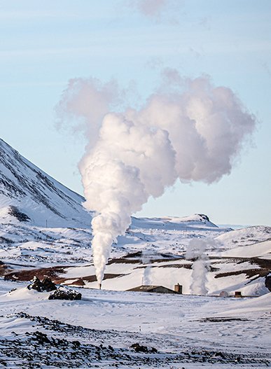
Námafjall
At the foothills of this spectacular volcanic mountain is an expanse of hot springs called Hverir that are known for their variety. You will also discover fumaroles, mud pools and mud pots that all seem to be boil with relentless energy.
Read more

Nature
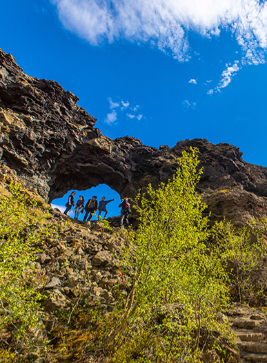
Ásbyrgi
Ásbyrgi is one of the wonders of nature, a well-forested horse-shoe shaped canyon in Öxarfjörður. Ásbyrgi is a part of Jökulsárgljúfur canyon, within the Vatnajökull National Park.
Read more

Nature
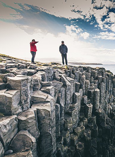
Kálfshamarsvík
Kálfshamarsvík is a small cove in the northern part of Skagi, with unusual, beautifully formed sea cliffs of columnar rock, created about 2 million years ago
Read more
Events

The Towns
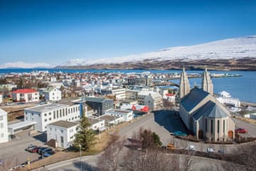
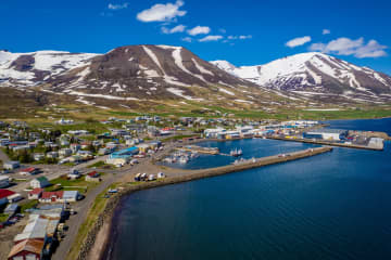
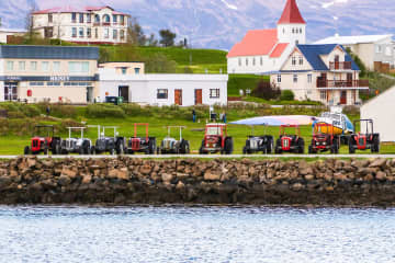
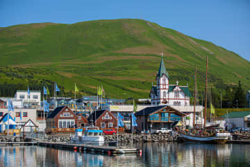
Akureyri
Akureyri is the little big city of Iceland. It is large enough to offer a rich selection of entertainment, art and culture, yet small enough to be ver
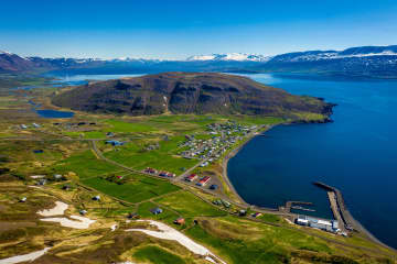
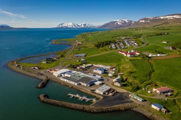
Árskógssandur
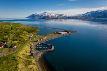
Árskógssandur is a small community situated on the shores of Eyjafjörður fiord, about 10 minutes by car from Dalvík and a short distance from the vill
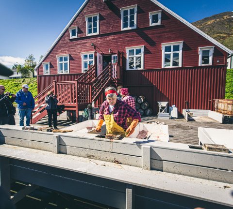
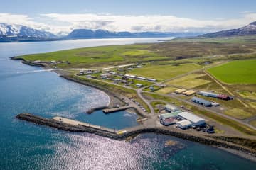
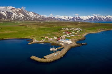
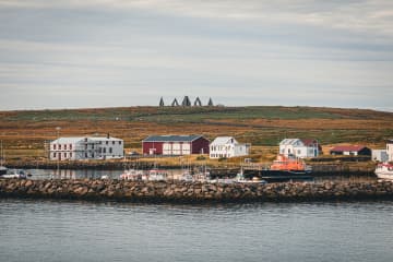
Bakkafjörður
Life in Bakkafjörður revolves mostly around the fish in the sea and the right to survive by catching it.
The old harbor has a long history, and there
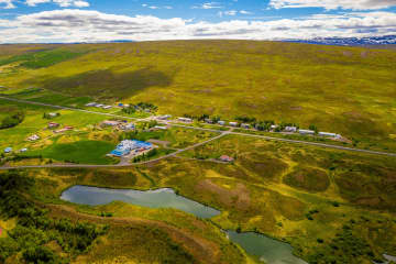
Blönduós
Blönduós is the most populated town by Húnaflói and is located by Road nr. 1. Through the town, runs one of the country's glacial rivers, Blanda and i
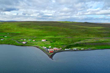
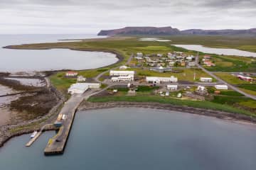
Borðeyri
Borðeyri is one of Iceland's smallest villages and is found on the western side of Hrútafjörður fjord. The village is mentioned in historical texts an
Dalvík
Dalvik is a seaside town, located on the natural paradise of Tröllaskagi Peninsula.
Recreation available for tourists in the area includes a well equi
Grenivík
The township of Grenivík lies under the 1,173 metre high mountain Kaldbakur. There are many excellent routes up the mountain, but if you do not feel l
Grímsey Island
It's a unique feeling to walk around the green island of Grímsey. Look to the horizon on the Atlantic ocean in the north, or turn your head to the sou
Hauganes
Hauganes is a part of the Árskógsströnd coastal area. It is also the most southerly community in the municipality of Dalvikurbyggd, with a population
Hjalteyri
Hjalteyri is a small village on the western shores of Eyjafjörður. Until the early 20th century, this was one of the main hubs of the herring fishing
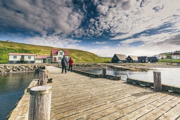
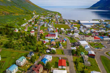
Hofsós
Hofsós is a peaceful seaside village on the Eastern shore of Skagafjörður Fjord, with over 400 years of history.
The Hofsós Swimming Pool is fast beco
Hólar
This is one of Iceland's most famous historical sites and was, for centuries, an Episcopal see. There has been a church at Hólar from the 11th century
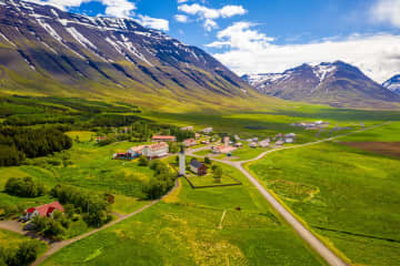
Hrafnagil
Eyjafjarðarsveit has been referred to by tourists as the countryside of Akureyri, the place you can view the wonders of Icelandic agriculture. The riv
Hrísey
The island of Hrísey is rightly known as Eyjafjörður's pearl of nature and is renowned for its abundant birdlife. It lies out in the middle of the fjo
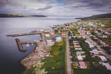
Húsavík
Húsavík is the oldest settlement in Iceland, besides being the largest town in Þingeyjarsýsla district and the service centre for the surrounding area
Hvammstangi
Hvammstangi is the largest community in West Húnaþing whose history as a trading centre dates back over more than 100 years. If you would like to see
Kópasker
Kópasker is a friendly village on the eastern shore of Öxarfjörður bay. A legal trading post was established here in 1880, and a village started slowl
Laugar
Laugar in Reykjadalur is a community which has sprung up around the geothermal activity which is a characteristic of the area. The village is home to
Laugarbakki
The village Laugarbakki stands by road one just east of Miðfjarðará River. The hot water from Laugarbakki's geothermal area is used to heat up houses
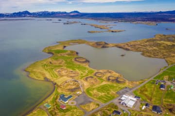
Mývatn
Mývatn offers a unique natural environment. With large contrasts and short distances, you can experience the most and the best that Iceland has to off
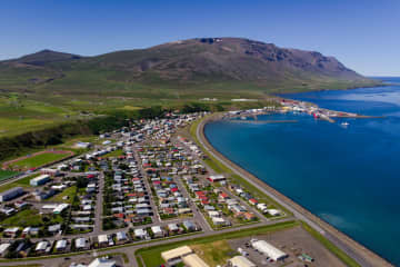
Ólafsfjörður
Ólafsfjörður is a town in the northeast of Iceland located at the mouth of the fjord Eyjafjörður.The town is connected to Dalvík on Eyjafjörður by the
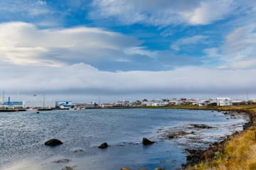
Raufarhöfn
Raufarhöfn is the northernmost town on the Icelandic mainland, nestled on the eastern shore of Melrakkaslétta peninsula. Named after its natural harbo
Sauðárkrókur
Sauðárkrókur lies on the South West shore of Skagafjörður Fjord. Sauðárkrókur is Skagafjörður's largest population centre and services the local munic
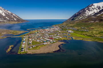
Siglufjörður
Siglufjörður is Iceland’s northernmost town and is a historic fishing town whose fame, and fortune has always been linked to the ebb and flow of the f
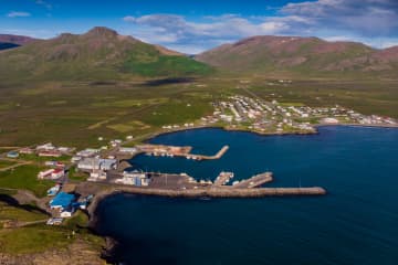
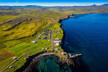
Skagaströnd
At Skagaströnd you will find the natural beauty of varied landscapes and vegetation everywhere you look. You will witness the grandeur of Spákonufell
Svalbarðseyri
Svalbarðseyri is a village in the Svalbarðsströnd district on the eastern coast of Eyjafjörður. Svalbarðsströnd is a thriving agricultural area and in
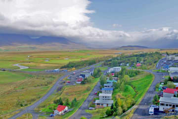
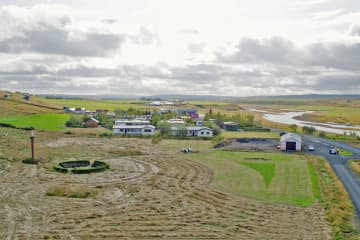
Varmahlíð
This community offers a wide variety of services for visitors and local people alike, making it one of the most popular stopping points for those trav
Þórshöfn
The heart of Þórshöfn beats with the waves, and fishing and fish processing have been the town's main form of occupation throughout the years. Therefo

Travel Blog
-

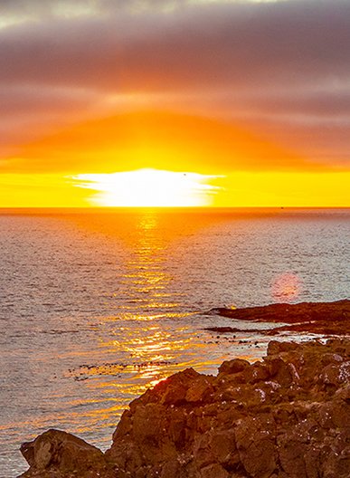
Summer Solstice in North Iceland: Celebrating the Midnight Sun
As the Summer Solstice approaches, North Iceland is preparing for one of its most magical moments of the year. On June 21, the Northern Hemisphere reaches its maximum tilt towards the sun, bringing the longest day of the year. In North Iceland, this is when the Midnight Sun is at its most spectacular. The sun hovers just below the horizon through the night, and the landscape glows in warm golden light well past midnight. While the solstice itself lasts only a moment, the feeling of endless daylight lingers for weeks, bathing North Iceland's landscapes in a soft glow long after midnight. -

The Solar Eclipse 2026 — Watch the Sky Change from the Arctic North
On the evening of Wednesday, 12 August 2026, the Moon will slide in front of the Sun above Iceland. For a narrow strip of the country — the Westfjords, the Snæfellsnes peninsula, Reykjanes — daylight will briefly vanish entirely. North Iceland sits just outside that narrow path, but what you will see here is still remarkable: the Sun will shrink to a crescent, the quality of light will shift into something stranger and more beautiful than you can fully prepare for, and the landscape will look briefly like somewhere else. Some parts of North Iceland are very close to the totality path. The western edge of our region — towns like Blönduós, Hvammstangi, and Skagaströnd — will experience a particularly deep eclipse, with well over 99% of the Sun obscured. Across the region, coverage ranges from around 99% in the west to around 95% in the far northeast. Every community in North Iceland will feel this. -

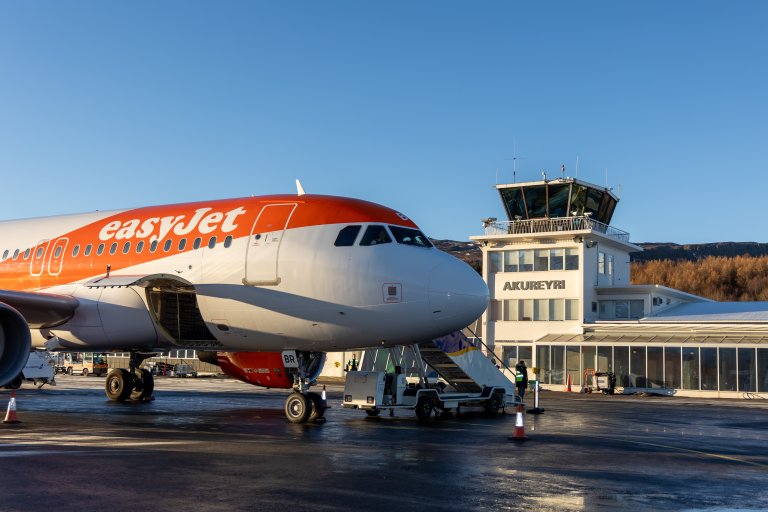
easyJet changes Manchester–Akureyri schedule and extends season
easyJet has moved its Manchester–Akureyri flights from Tuesdays and Saturdays to Mondays and Fridays. The winter schedule to Manchester will also start three weeks earlier than planned, now beginning on October 26th. -

Guide to the Northern Lights in Akureyri
Seeing the Northern Lights is a dream for many travellers. And Akureyri is one of the best places in Iceland to experience them. Located in North Iceland, this welcoming town offers easy access to dark skies, dramatic landscapes, and excellent viewing conditions. On a guided tour or not, the Akureyri Northern Lights experience combines comfort, flexibility, and natural beauty.
Follow us and
experience North Iceland
experience North Iceland
#northiceland @northiceland